Collection: Best Selling Products Search
-
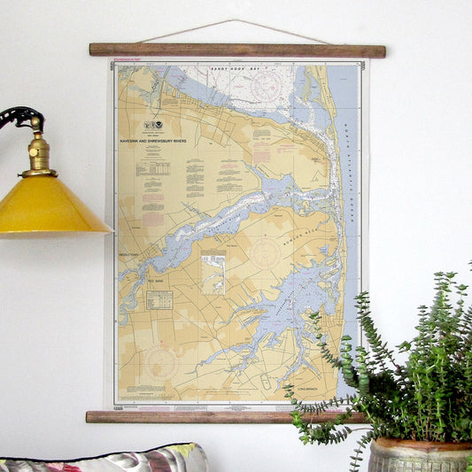
Navesink and Shrewsbury Rivers NJ Nautical Chart Scroll
Regular price $ 59.95 USDRegular priceUnit price / per$ 79.00 USDSale price $ 59.95 USDSale -
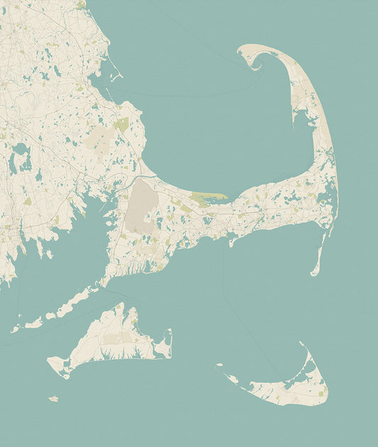
Cape Cod & The Islands Sea Glass Scroll
Regular price $ 59.95 USDRegular priceUnit price / per$ 79.00 USDSale price $ 59.95 USDSale -
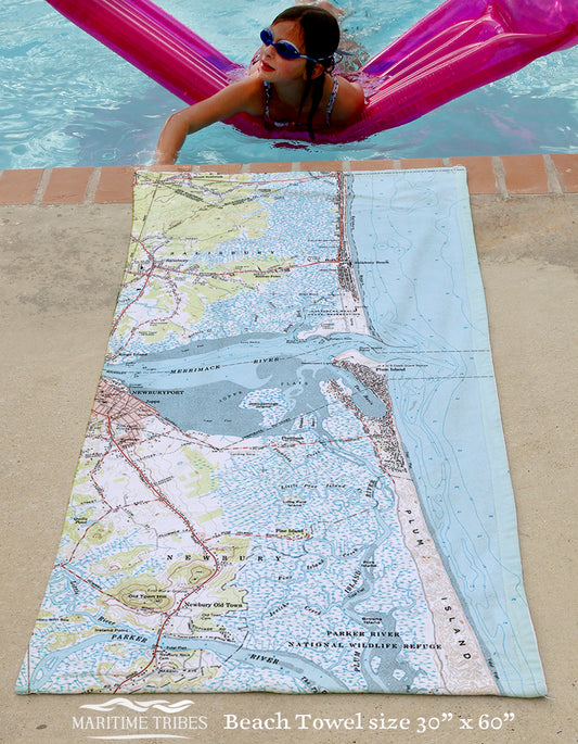
Newburyport East Quick Dry Towel
Regular price $ 48.00 USDRegular priceUnit price / per$ 59.00 USDSale price $ 48.00 USDSale -
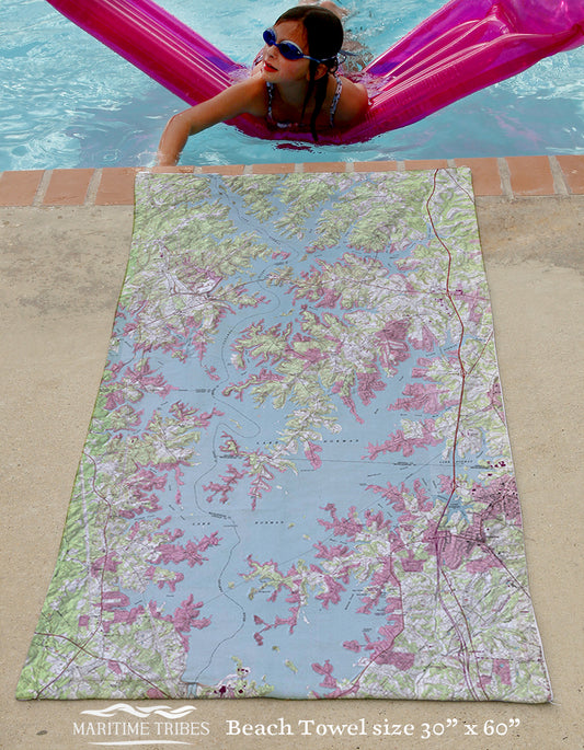
Lake Norman Topo Map Quick Dry Towel
Regular price $ 48.00 USDRegular priceUnit price / per$ 59.00 USDSale price $ 48.00 USDSale -
Nantucket, MA Nautical Chart Scroll
Regular price $ 59.95 USDRegular priceUnit price / per$ 79.00 USDSale price $ 59.95 USDSale -
Antique New Orleans River Map, Vintage Topo
Regular price $ 48.00 USDRegular priceUnit price / per$ 59.00 USDSale price $ 48.00 USDSale -
Martha's Vineyard Nautical Chart Quick Dry Towel
Regular price $ 48.00 USDRegular priceUnit price / per$ 59.00 USDSale price $ 48.00 USDSale -
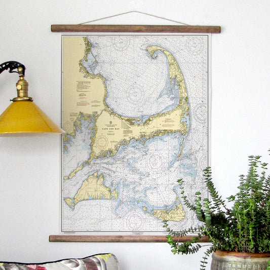
Cape Cod & The Islands Scroll
Regular price $ 59.95 USDRegular priceUnit price / per$ 79.00 USDSale price $ 59.95 USDSale -
Chautauqua Lake, NY Vintage Map Quick Dry Towel
Regular price $ 48.00 USDRegular priceUnit price / per$ 59.00 USDSale price $ 48.00 USDSale -
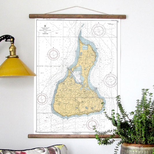
Block Island Nautical Chart Scroll
Regular price $ 59.95 USDRegular priceUnit price / per$ 79.00 USDSale price $ 59.95 USDSale -
Lake Borgne, Mississippi Chart Quick Dry Towel
Regular price $ 48.00 USDRegular priceUnit price / per$ 59.00 USDSale price $ 48.00 USDSale -
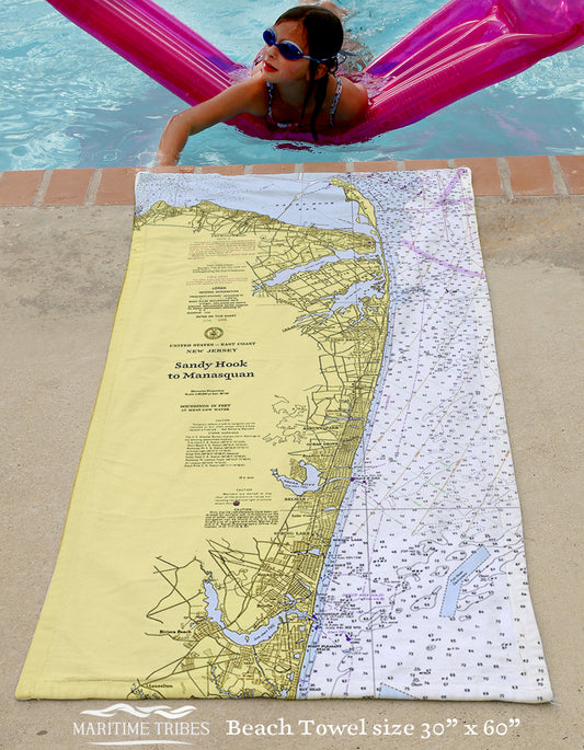
Sandy Hook to Manasquan Quick Dry Towel
Regular price $ 48.00 USDRegular priceUnit price / per$ 59.00 USDSale price $ 48.00 USDSale -
Stony Creek, Thimble Islands CT Nautical Chart Quick Dry Towel
Regular price $ 48.00 USDRegular priceUnit price / per$ 59.00 USDSale price $ 48.00 USDSale -
Buzzards Bay, Cuttyhunk & Woods Hole, MA Vintage Nautical Chart Quick Dry Towel
Regular price $ 48.00 USDRegular priceUnit price / per$ 59.00 USDSale price $ 48.00 USDSale -
London, England Blanket
Regular price $ 79.50 USDRegular priceUnit price / per$ 89.99 USDSale price $ 79.50 USDSale -
Cape Lookout to New River with Cedar Point Quick Dry Towel
Regular price $ 48.00 USDRegular priceUnit price / per$ 59.00 USDSale price $ 48.00 USDSale
