We see a LOT of different types of maps for a lot of different products. I don't know how many - a thousand? TEN thousand? Plus people insist on showing me maps wherever I go since I am "that map guy." So, if you add those, it might just be around a thousand in a year.
With ALL those in mind, here's my favorite 12 culled from 2016 -
#12 - Vintage (c. 1910) Yellowstone Tourist Map, as a scroll. What a great time to visit the park - before it was overrun by German Tourists! : )
#11 - Cuba Libre! At 24" x 80" the proportions of the scarf is PERFECT for some geographies like Long Island (NY), Cuba, North Carolina (#10) and the Southern Keys.

#10 - North Carolina c. 1857 - this map is rare that is goes from the Outerbanks all the way to the mountains on the border with Tennessee. Most maps cut the state's Western Half and place it somewhere convenient for the purposes of fitting it on the page. Not this one!

You gotta love the awesome type faces - I wish we could still make them like this.

#9 - Seattle, between Puget Sound and Lake Washington. We love the interplay of the water and land, both in real life and when looking at maps as art.

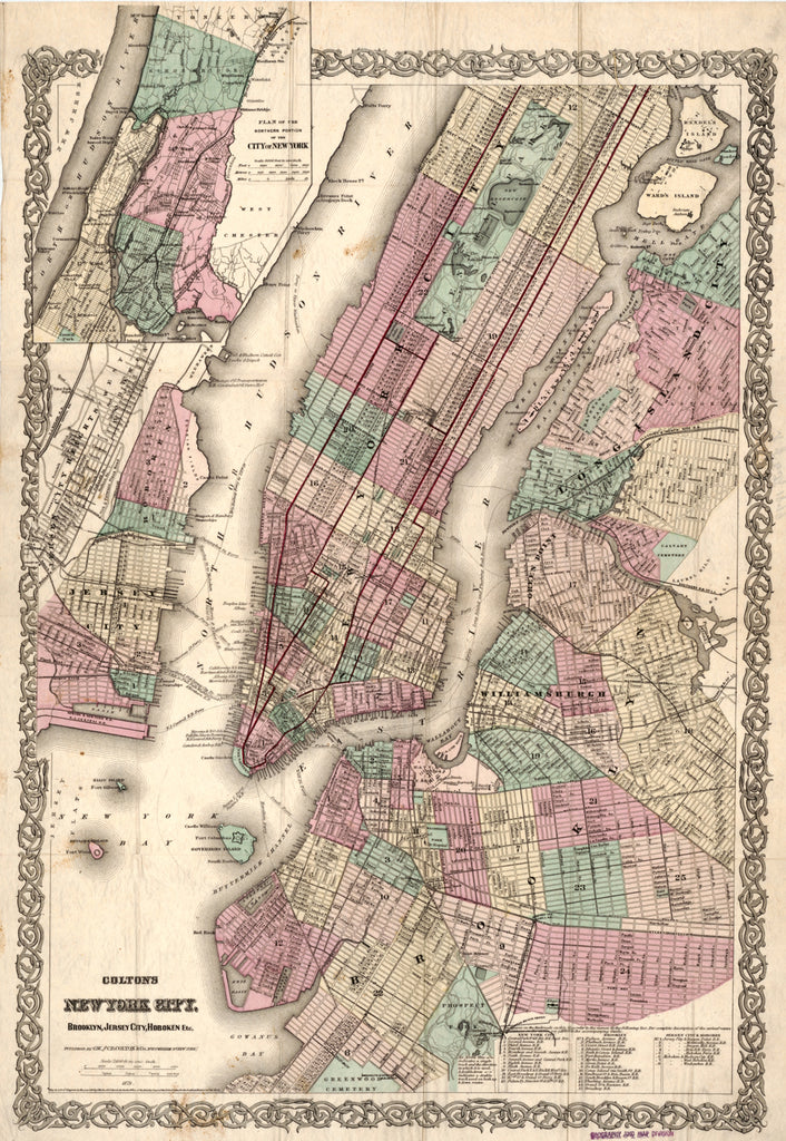
#8 A pre-Lady Liberty New York City Map, c. 1879. Notice Liberty Island was called Bedloe's Island and was home of Fort Wood. (Statue of Liberty was installed in 1886.) BROOKLYN is also very prominently featured as it was not folded (and hence demoted) into Greater New York City until 1898.

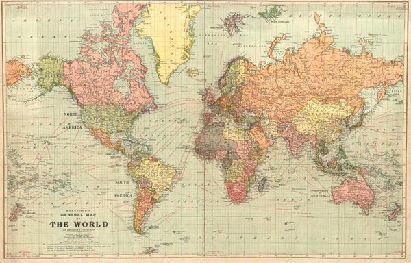
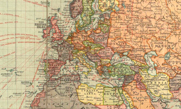
#7 - Stanford's World Map, c. 1920 - you can usually date a vintage map by looking at Europe as the borders were pretty elastic in the 19th and 20th Centuries. I'm estimating this one at 1920 (see the inset below - this looks like a pre-WWII Germany, but post WWI.)
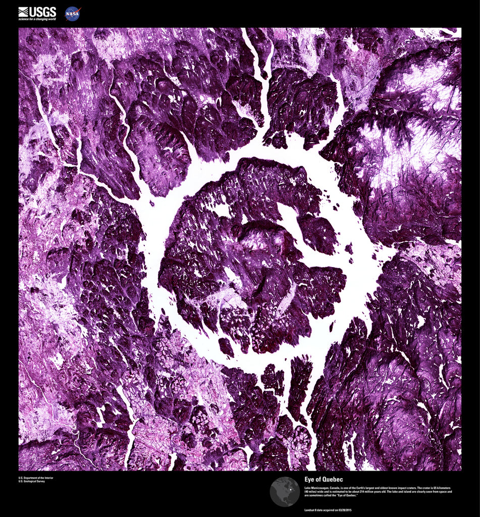
#6 USGS & NASA's Earth as Art Imagery - This is our home like you've never seen it: abstract art. For the full experience, click here.
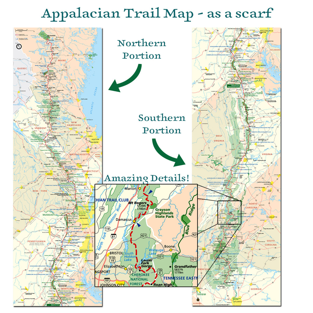
#5 - Appalachian Trail Map as a scarf. The A.T. is an amazing personal journey and hiking at least part of it should be on every Tree Hugger's list, mine included. This map scarf came by way of a special request - a mom's Christmas present for her amaze-balls 23 year old daughter that completed the 2,200 mile, Georgia-to-Maine trail last year. Proud Mama!
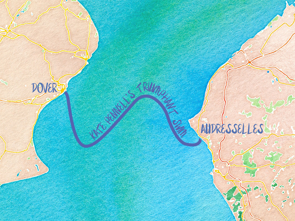
#4 Let's keep on the Celebrate Extraordinary Women chapter and show you Kate's swim across the English Channel, as a scarf. No, she wasn't drinking during the swim and stumbling left and right. That snake wake is actually the effect the current has on swimming the English Channel. As if it's not hard enough!

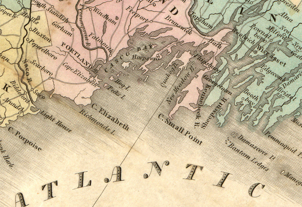
#3 - Vintage Maine Coast - this map scarf was created for 4 bridesmaids at a destination wedding in Casco Bay, Maine. It's rare to see so much girly pink on one map, so it's especially perfect for a scarf!

I just have to highlight the type face, line weight and the gentle gradation of where the water meets the land.
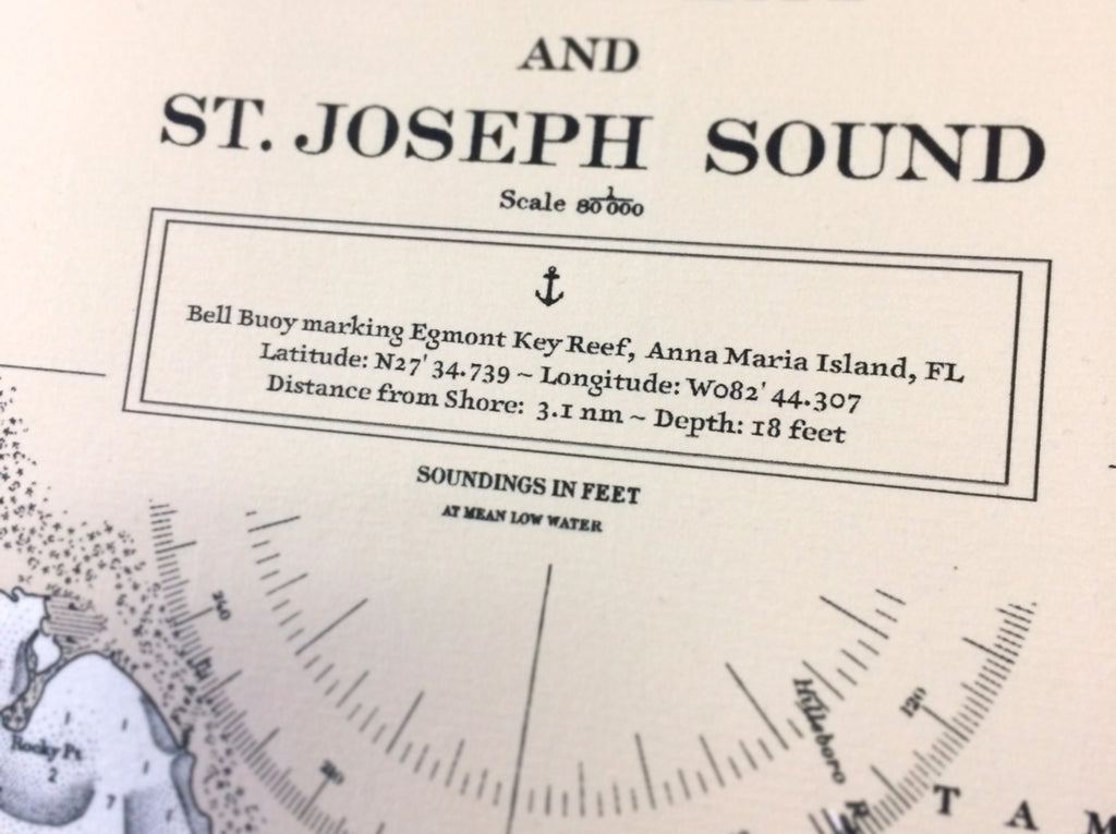
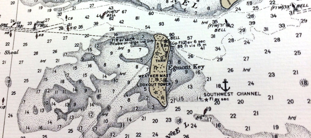
#2 - It was a real honor to work with Kathy on a vintage chart scroll to commemorate the burial at sea of her beloved father especially since I remember burying my grandfather at sea (somewhere in Fishers Island Sound).
So we'll call map #2 the Commemorate-a-Great-Life Map. (that's not final I'm certainly open to suggestions.) The anchor represents the approximate location of where they placed their father's ashes in the sea. : ( But I understand he had quite a rich life, so no regrets there and it's certainly the way I want to go - hey! leave the land for the living, I say.
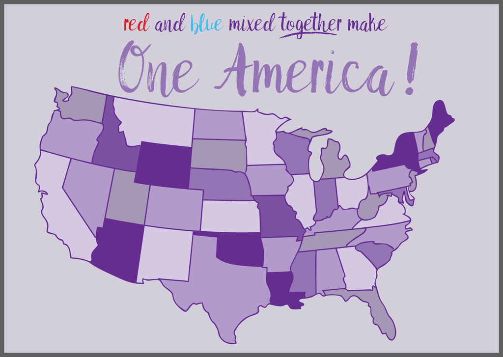
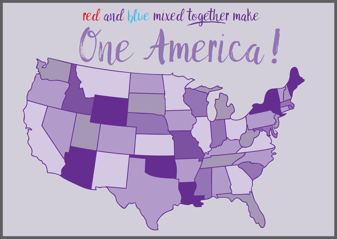
#1 - The United States of America. We need look no further than Syria to see the results of uncompromising positions. We've got too much at stake to dwell in hate.
